Monthly mosaic of modified Radar Vegetation Index
Few months ago, I wrote a post about how to calculate The modified Radar Vegetation Index (mRVI) using Sentinel-1 satellite. It was try to extract the mRVI every Dekad with study case is Ukraine.
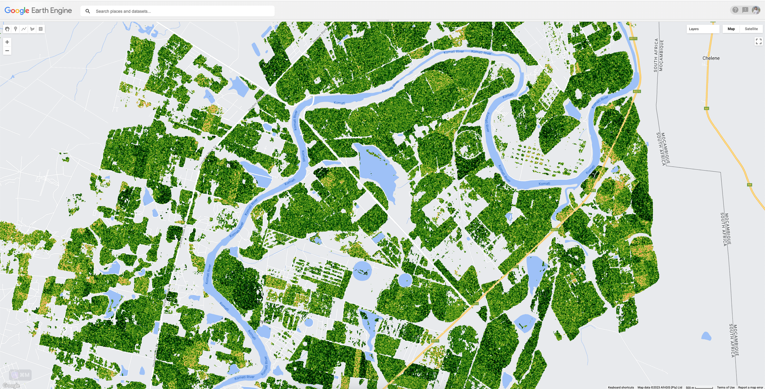
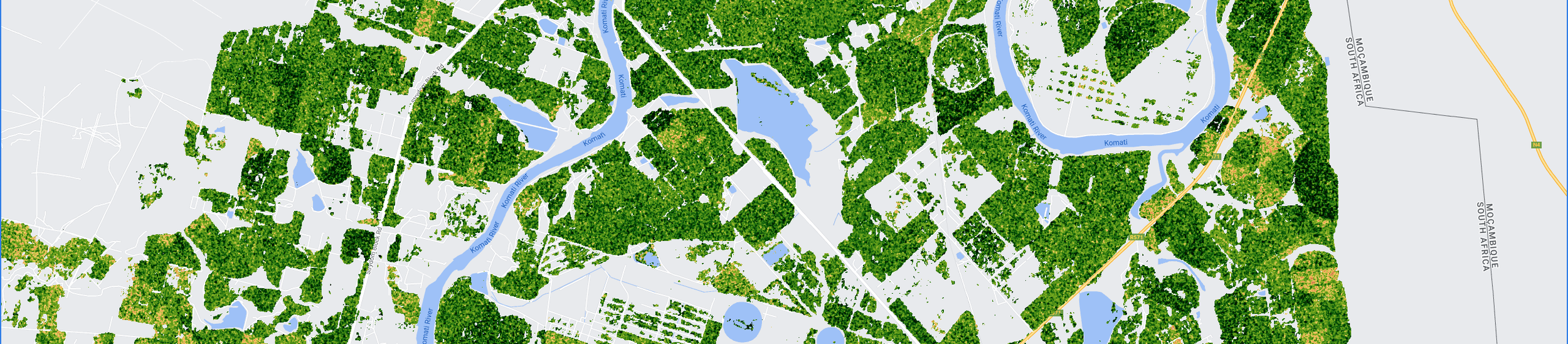
For areas in Europe, getting the S1 data every dekad is doable, but it’s bit tricky for area outside Europe. Currently, for my work, I would like to extract the mRVI for Mpumalanga province in South Africa. The location is near -25.5 S, then according to below picture the revisit time is every 12 days.
[caption id=“” align=“alignnone” width=“3579”][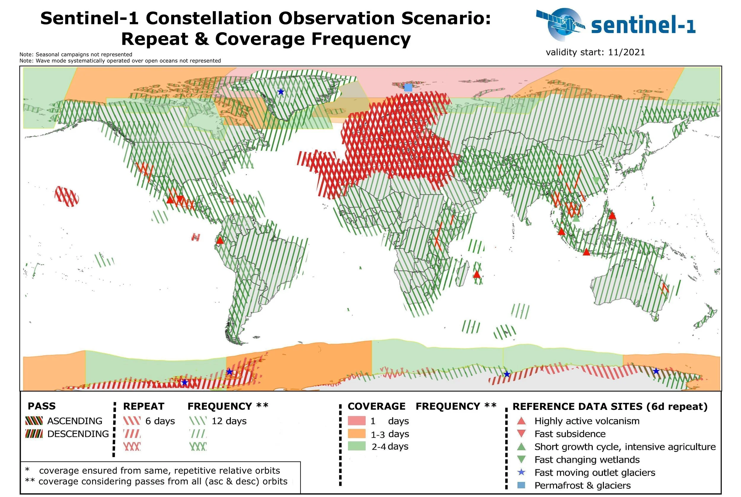 ](https://sentinel.esa.int/documents/247904/4748961/Sentinel-1-Repeat-Coverage-Frequency-Geometry-2021.jpg) Source: https://sentinel.esa.int/documents/247904/4748961/Sentinel-1-Repeat-Coverage-Frequency-Geometry-2021.jpg [/caption]
Getting monthly mosaic mRVI seems possible for case in South Africa, as if I keep the dekad, some of them will return an empty collection.
So, I need to modify the existing code to get the monthly list, calculate monthly mosaics, calculate monthly mean and the ratio anomaly
Full GEE code is here: https://code.earthengine.google.com/aea00cb8f3f1ccc921d5f6698b5c0c5a