Benny Istanto Logo Benny Istanto Logo
  • Home
  • About
  • CSR
  • Blog
  • Works
    • Overview
    • Experiences
    • Projects
    • Consulting
    • Maps & Infographics
  • CV

Surface Energy Balance

Urban Heat Islands Research

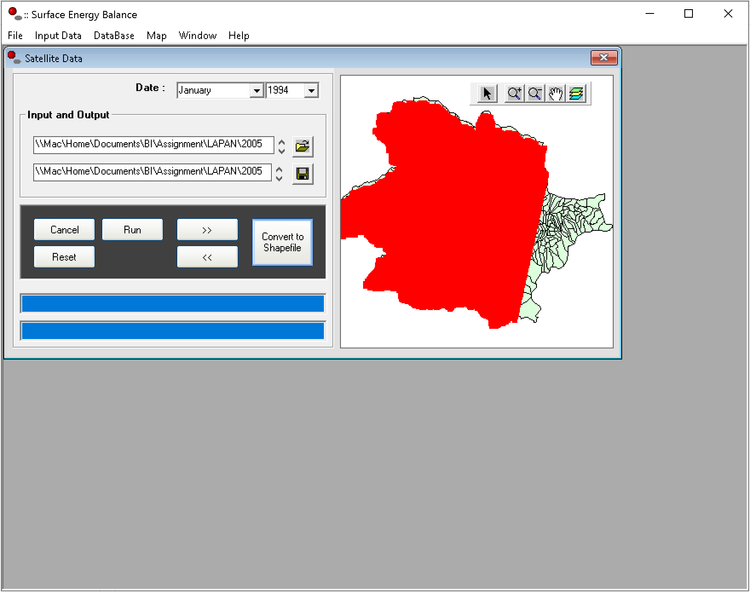
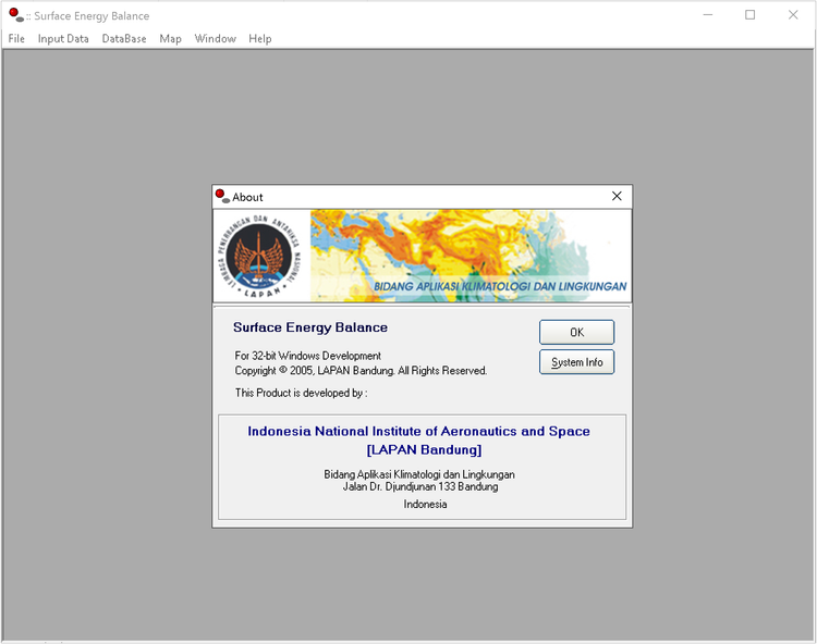
I was involved in research activities at Division of Climatology and Environment Application (BAKL), Center for Atmospheric and Climate Sciences - LAPAN in 2005, on the phenomenon of urban heat islands.

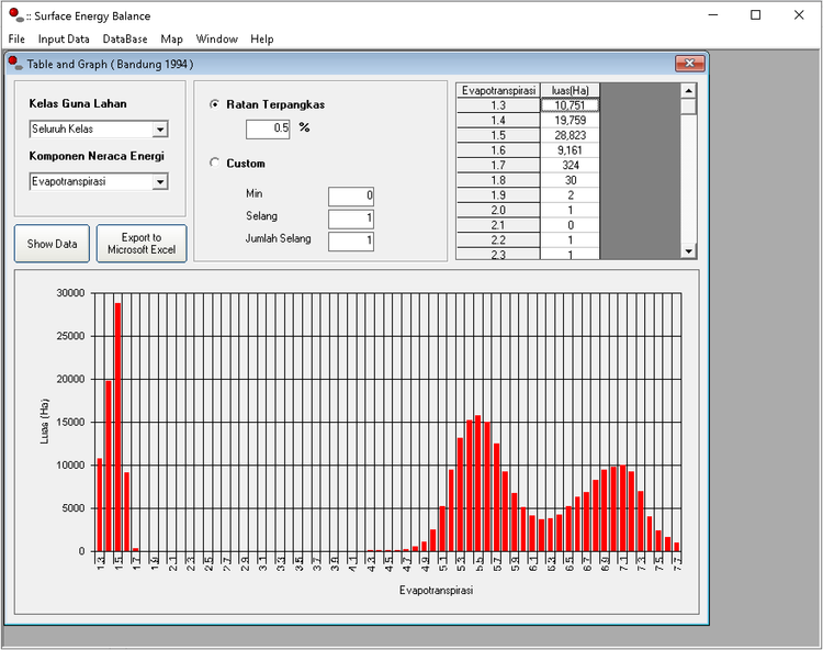
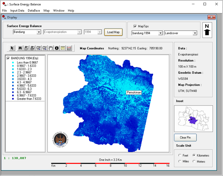
Using Landsat satellite data, several surface energy balance parameters are extracted to obtain information related to changing in land use which affecting surface temperatures increase in urban and rural areas.

Year

2005

Organization

LAPAN - Center for Atmospheric and Climate Sciences

Tools

ArcView GIS 3.3, ErMapper 6.4, MapObject 2.2, Visual Basic 6

Team

Idung Risdiyanto, Laras Tursilowati, Erwin Hermawan, Andri Susanto, Benny Istanto

Reference

Published Paper

Research Overview

← Back to Projects

Back to top

© 2026, Benny Istanto.

Exploring Climate with GIS and Data Science, solving old problems in new ways. Turning earth observation data into actionable, life-saving insights.

Built with Quarto

  • View source
  • Report an issue

Buy Me a Coffee