IMERG
IMERG#
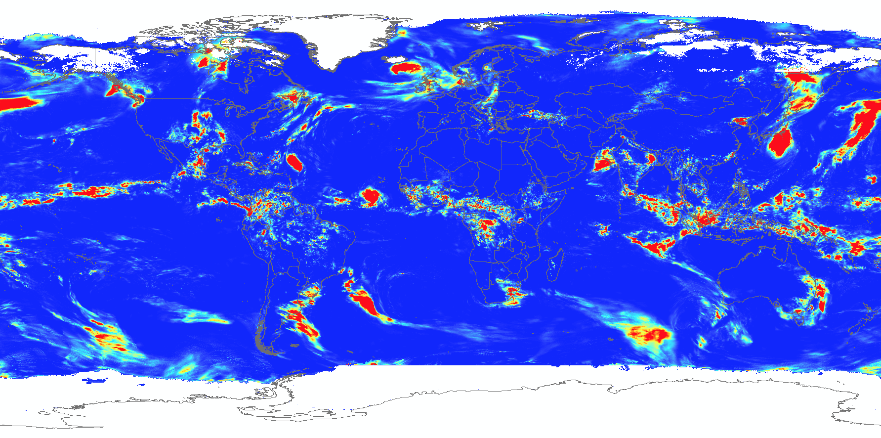
The GPM is next-generation of the Tropical Rainfall Measuring Mission (TRMM - https://pmm.nasa.gov/TRMM). Like the TRMM, the GPM mission aims at providing uniformly calibrated precipitation estimates at a quasi-global scale by merging the measurements from its constellation of microwave and IR satellites. All GPM data sets including measurements obtained from each platform (Level 2) are available on the PMM site (https://pmm.nasa.gov/data-access). Among many GPM products, the Multi-satellitE Retrievals for GPM (IMERG) is most interesting to the users since it delivers the ‘best’ precipitation estimates by combining data obtained from all available microwave and infrared (IR) platforms of the GPM satellite constellation.
IMERG is adjusted to GPCP monthly climatology zonally to achieve a bias profile that is considered reasonable. Multiple runs for different user requirements for latency and accuracy.
“Early” – 4 hour (example application: flash flooding)
“Late” – 14 hour (crop forecasting)
“Final” – 3 months (research)
List datasets
Historical
Timestep |
Release |
Period |
Unit |
Link |
|---|---|---|---|---|
Monthly |
Final Run |
Jun 2000 - Sep 2021 |
mm/month |
https://gpm1.gesdisc.eosdis.nasa.gov/data/GPM_L3/GPM_3IMERGM.06/ |
Daily |
Final Run |
1 Jun 2000 - 30 Sep 2021 |
mm/day |
https://gpm1.gesdisc.eosdis.nasa.gov/data/GPM_L3/GPM_3IMERGDF.06/ |
Daily |
Early Run |
1 Jun 2000 - now |
mm/day |
https://gpm1.gesdisc.eosdis.nasa.gov/data/GPM_L3/GPM_3IMERGDE.06/ |
Daily |
Late Run |
1 Jun 2000 - now |
mm/day |
https://gpm1.gesdisc.eosdis.nasa.gov/data/GPM_L3/GPM_3IMERGDL.06/ |
Near-real time
Timestep |
Release |
Period |
Unit |
Link |
|---|---|---|---|---|
30-minutes |
Final Run |
1 Jun 2000 - 30 Sep 2021 |
mm/hour |
https://gpm1.gesdisc.eosdis.nasa.gov/data/GPM_L3/GPM_3IMERGHH.06/ |
30-minutes |
Early Run |
1 Jun 2000 - now |
mm/hour |
https://gpm1.gesdisc.eosdis.nasa.gov/data/GPM_L3/GPM_3IMERGHHE.06/ |
30-minutes |
Late Run |
1 Jun 2000 - now |
mm/hour |
https://gpm1.gesdisc.eosdis.nasa.gov/data/GPM_L3/GPM_3IMERGHHL.06/ |
About the data
Characteristic |
Description |
|---|---|
Function |
Displays hourly, daily and monthly precipitation data |
Variable |
Total precipitation |
Geographic coverage |
Global 60N-60S, 180W-180E |
Spatial resolution |
0.1 degree ~ 11.1 km at equator |
Temporal resolution |
30 minutes, daily and monthly |
Format |
NetCDF |
Unit |
Total mm for given time step, mm/hour, mm/day, and mm/month. |
Reference |
Data access
IMERG daily data available at DEC S3: s3://wbgdecinternal-ntl/climate/data/imerg.